The folders below contain various versions and formats of USGS and USFS maps for the Southern Yosemite region.
The USDA/USFS map of the Sierra National forest is here. It is useful for identifying campgrounds, roads, private property and trails.
In the USGS folder you will find jpeg versions of the various 7.5 minute topographic quadrangles in the area. These were converted from the larger PDF files from the USGS. These can be cropped and pasted together in your photo editor to make continuous maps. There are two versions of each quad, the current 2012 edition and the previous edition which is usually the 2004. Depending on your use, you may like one better than the other.
The next folder contains jpeg versions of the photo map found in the above folder. These don't have layers and are much smaller files. They do have the roads, names and water overlays visible.
The last folder contains the original PDF files for the 2012 edition USGS quads. These have a photo layer. Open the file in Adobe Acrobat, turn on the “images” layer and turn off any or all of the subcategories in “Map Frame.” These are big files.
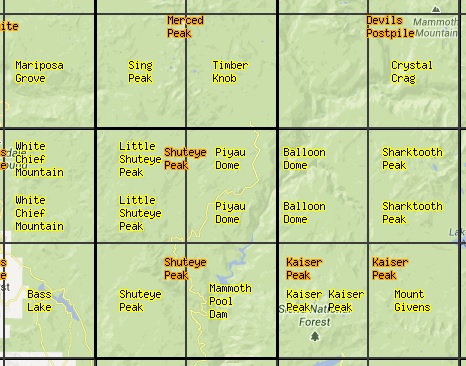
The yellow names on this map are the 7.5 USGS quads available here.